First section on foot:
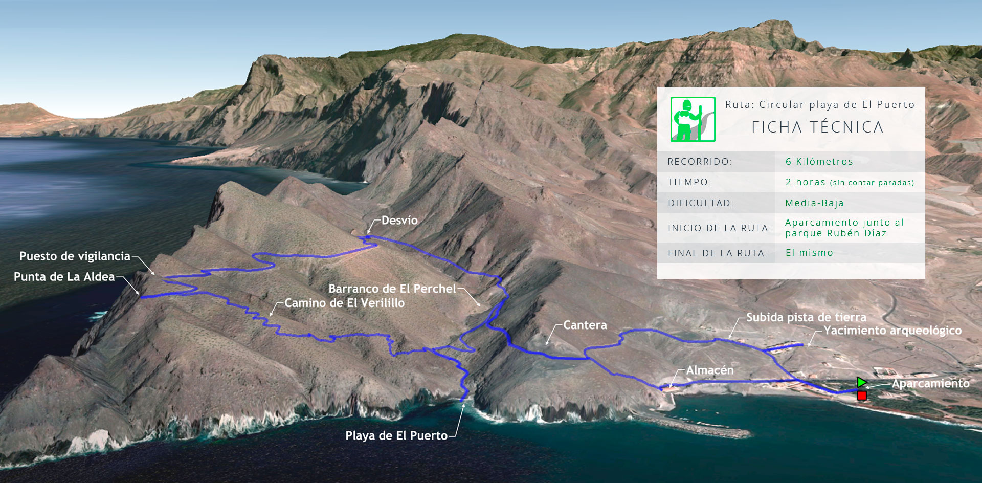
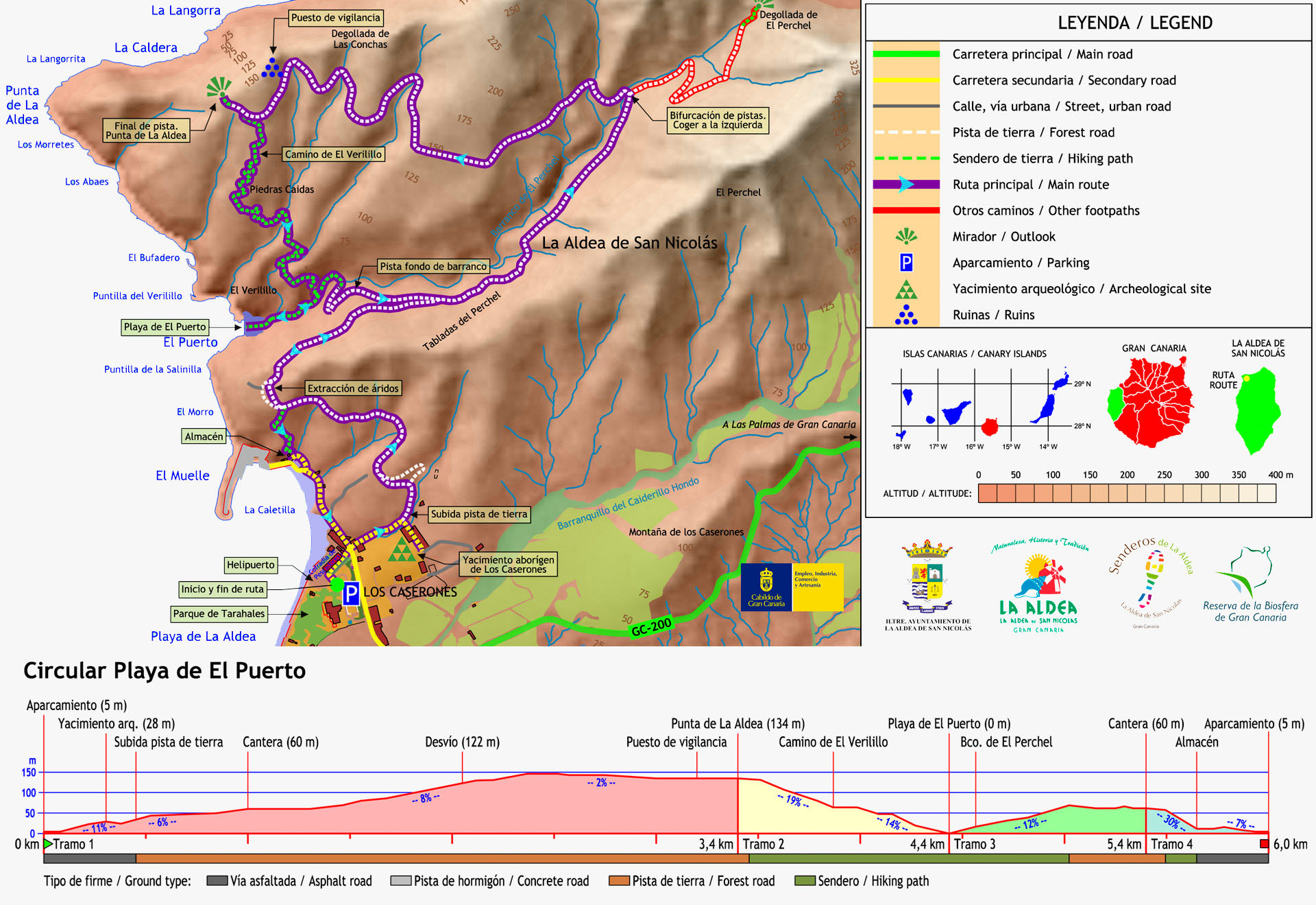
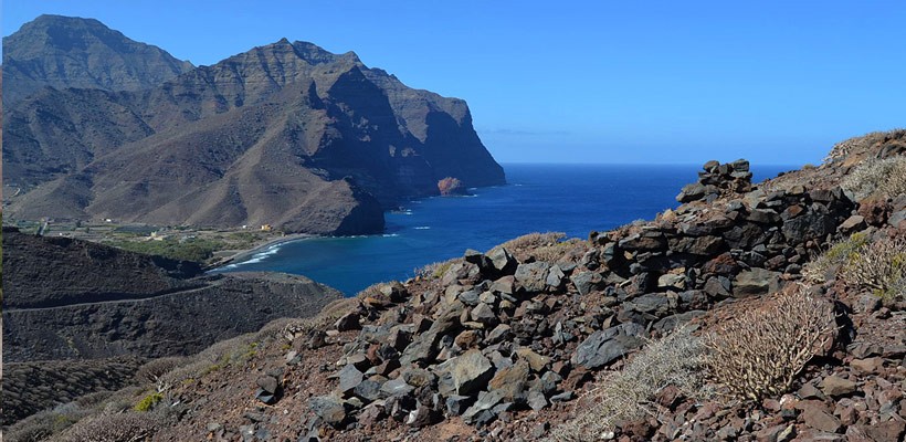
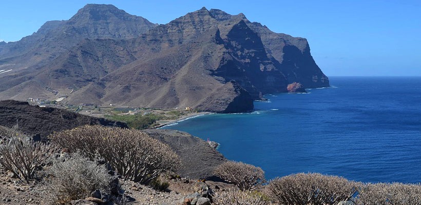
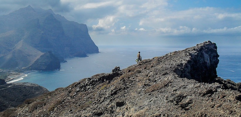
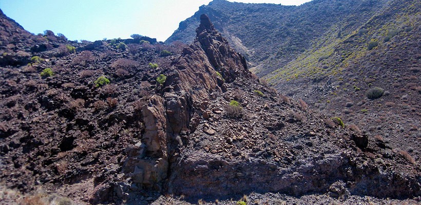
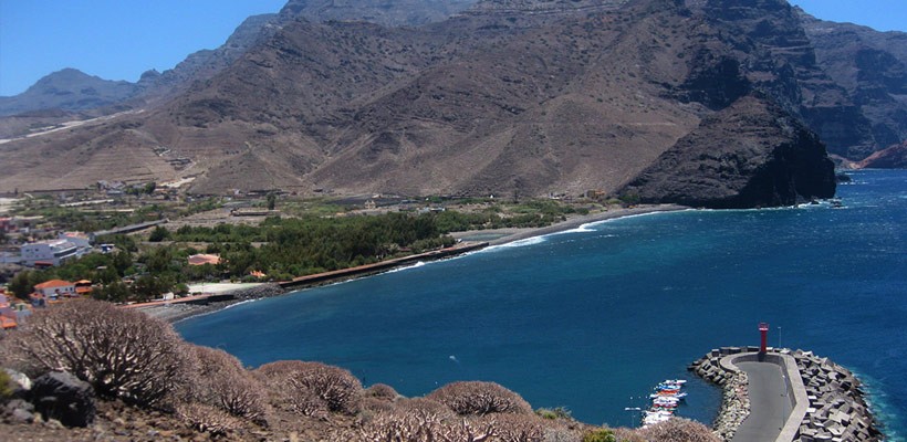
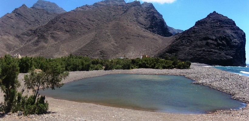
Look out for a zebra crossing, situated opposite the Restaurante Severo. A steep climb up the tarmac street of calle Lomo del Carmen takes us up as far as the residential Hamlet and Los Caserones Archaeological Settlement. It is to our right and is well worth a visit. It is protected by a metal fence, as it is considered a Site of Cultural Interest. As the tarmac road peters out, we move on to a dirt track that takes us northwards. We now climb gently, with the Playa Playa de La Aldea and El Charco coming into view, to our left. This section is easy to walk along, and just 500 metres further on, we come to a former stone quarry. It is at the first edge of the cliff. The path turns to the right and heads to El Perchel ravine. We will come to a first fork in the road, with a path going down to the left, but we continue to the right. There is another fork just ahead. This time we go left. If we want to look out over Degollada de Las Conchas and see the whole of Andén Verde (providing a different view of the cliffs), we should go up a stonier and more deteriorated footpath. We will be welcomed there by some coastal marine birds. This steep spot has many hollows, and is a refuge and a nesting site for seagulls and shearwaters, etc. Our route is now flattening out as we leave behind the ravine and look out over the next little ravine, featuring some stunning countryside. We are now just 1.4 km from the end of the footpath, at La Punta de La Aldea. We will have seen previously an old dry stone construction, a lookout point which was built during World War II, a few old ruins that have weathered the incessant strong winds. Take care and avoid walking along the edge of the cliff, as you may fall.
Second section on foot:
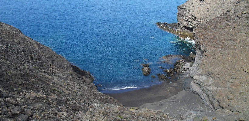
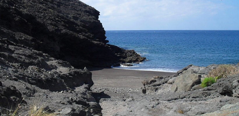
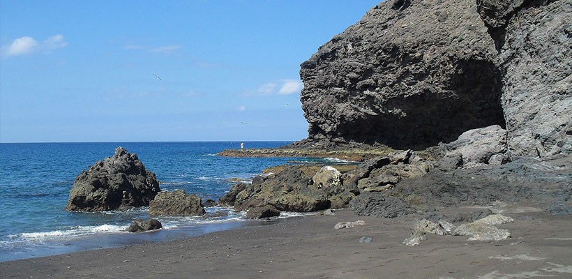
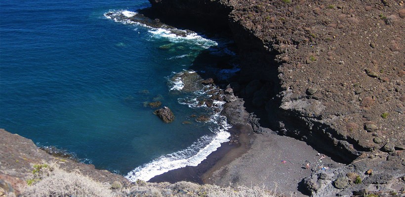
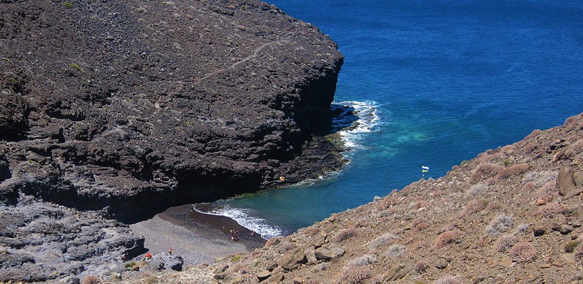
Having enjoyed this privileged location, we must now return. We can go back the way we came, but we suggest something a little more daring and adventurous. Right at the end of the dirt track on our left is our next reference point. A footpath descends, flanked by two low stone walls at its starting point. It is an old and stony footpath that slopes steeply down to Playa de El Puerto. It is exactly one kilometre to the sand; but the way down winds around little ravines and dusty hills full of sweet tabaiba plants (Euphorbia balsamífera).
Third section on foot:
We can take a deserved rest on the beach (there are some shady rocky ledges to sit on), and then we should leave once more, upstream along the ravine bed until, to our right, we come to the end of a dirt track. We make out way up the track as far as the main footpath we passed at the beginning of the route. At this crossroads we go right as we access the old quarry again. This third section runs for approximately one kilometre, 400 metres of which are an ascent in order to exit the ravine.
Fourth section on foot:
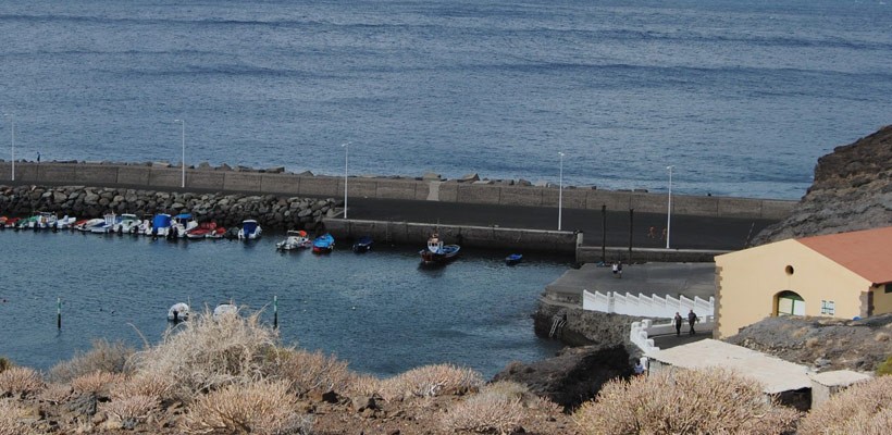
As soon as we pass the stone quarry, we should approach the ledge where we come to a descent which takes us down to the fishing harbour. It is a dirt and stone footpath, and is highly slippery, but it provides a shortcut to the footpath we walked along on the way out. We also have the option of visiting the harbour, with its small stony beach, and go under the tunnel (at low tide) to get to the end of our route.
An ample heritage park
La Aldea de San Nicolás constitutes one of the oldest human settlements in Gran Canaria, according to carbon dating information obtained in studies made so far. It is also the most isolated populated urban town in Gran Canaria.
There are several historical elements pertaining to the area we are going to visit, such as: Los Caserones archaeological area, the Ethnographic Site of El Charco de La Aldea, the former Rum Distillery and the Hermitage of El Charco which was supposedly home to the primitive foundation dedicated to the saint that gives this region its name (San Nicolás). These sites follow one after another from the foothills at Montaña de Caserones as far as the southernmost tip of Playa de La Aldea.
The aboriginal world of Los Caserones
This is one of the most important archaeological areas of Gran Canaria and a paradigmatic example of models of human dwellings in the pre-Hispanic period on the island. Researchers who came to this part of the island during the 19th century tell of an enormous settlement made up of houses on the land which, according to anthropologist Grau Bassas, constituted a proper ‘city’ with a proto-urban layout: “There is evidence there of a densely populated village: there are constructions known as goros (which are actually houses), but larger in size and numbering between 800 and 1,000”.
In Caserones there are also funeral tombs located at an area called ‘Lomo de Caserones’. Excavation work was carried out in the 1980s on one of these burial mounds, highlighting the hierarchical order of the buried bodies. The most ancient dating obtained from the settlement of Los Caserones suggest they are from around year 60 of the Christian era, making them the oldest examples of human remains on the island.
Military ruins
These ruins are a lookout post dating from World War II (1940-1942). The military forces used the lookout to keep watch over the area for fear of an allied invasion. Communication was made from here to Puerto de Agaete and Montaña de La Atalaya by means of heliostats (mirrors that reflected the sun’s rays and morse code).
Books and bibliographic references:
- MANUEL J. SANCHO. (2011). Cruces de Gran Canaria.
- SUÁREZ MORENO, F. (1999). The History of La Aldea de San Nicolás. Ed. Centro de la Cultura Popular Canaria, 232 pp.
- SUÁREZ MORENO, F. (2008). El Charco: Fiesta, Landscape and Heritage. Ed. Cabildo de Gran Canaria, 100 pp. ISBN: 978-84-8103-565-6.
- Guide to the Archaeological Heritage of Gran Canaria, Las Palmas de Gran Canaria: Cabildo, 2001, 453 pp. ISBN 84-8103-276-X.
- CANARIAS 7: Coleccionable La Mochila de Canarias-7, Las Palmas de Gran Canaria, 34 Walking routes around the Canary Islands. 2010-2011.
IMPORTANT: The information contained in these routes is for guidance purposes, and exclusively seeks to encourage sporting activity in natural surroundings and educational country walks. The Town Hall of La Aldea de San Nicolás provides this information for the benefit of the users of this website, and waives any responsibility as to the current state of the routes, offer, quality and ownership of the areas that walkers pass through, etc.
Likewise, the Town Hall is not responsible for any errors, omissions, or for a user of this website going off course and suffering an accident. Hikers are reminded that they access these mountainous areas voluntarily and with informed consent, that is, each person should be responsible for their actions.


